Downtown DistrictAlexandria Governorate
Squares & streetsFouad Street — the Canopic Way

Squares & streetsAncient Alexandria

Fouad Street — the Canopic Way

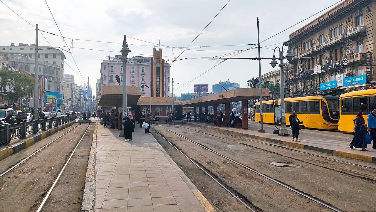
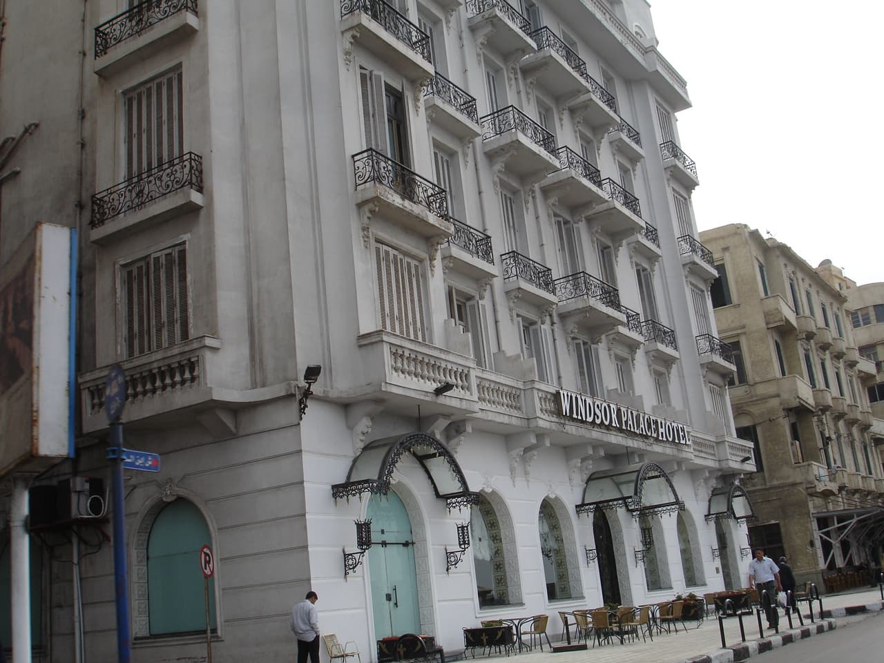
Following the line of the ancient Canopic Way for much of its length, Fouad Street brings together layers of Alexandria’s architecture and cultural life.

Ancient Alexandria
331 BC — the Canopic Way
Opening hours
Public street, open all hours
Tickets
Free
Administrative section
El Attarin — Bab Sharqi

What sets it apart

A straight axis lined with 1920s Italianate façades — the echo of an ancient avenue with a double colonnade

6 documented memories

Its place in time

Ancient Alexandria · 331 BC – 7th century AD

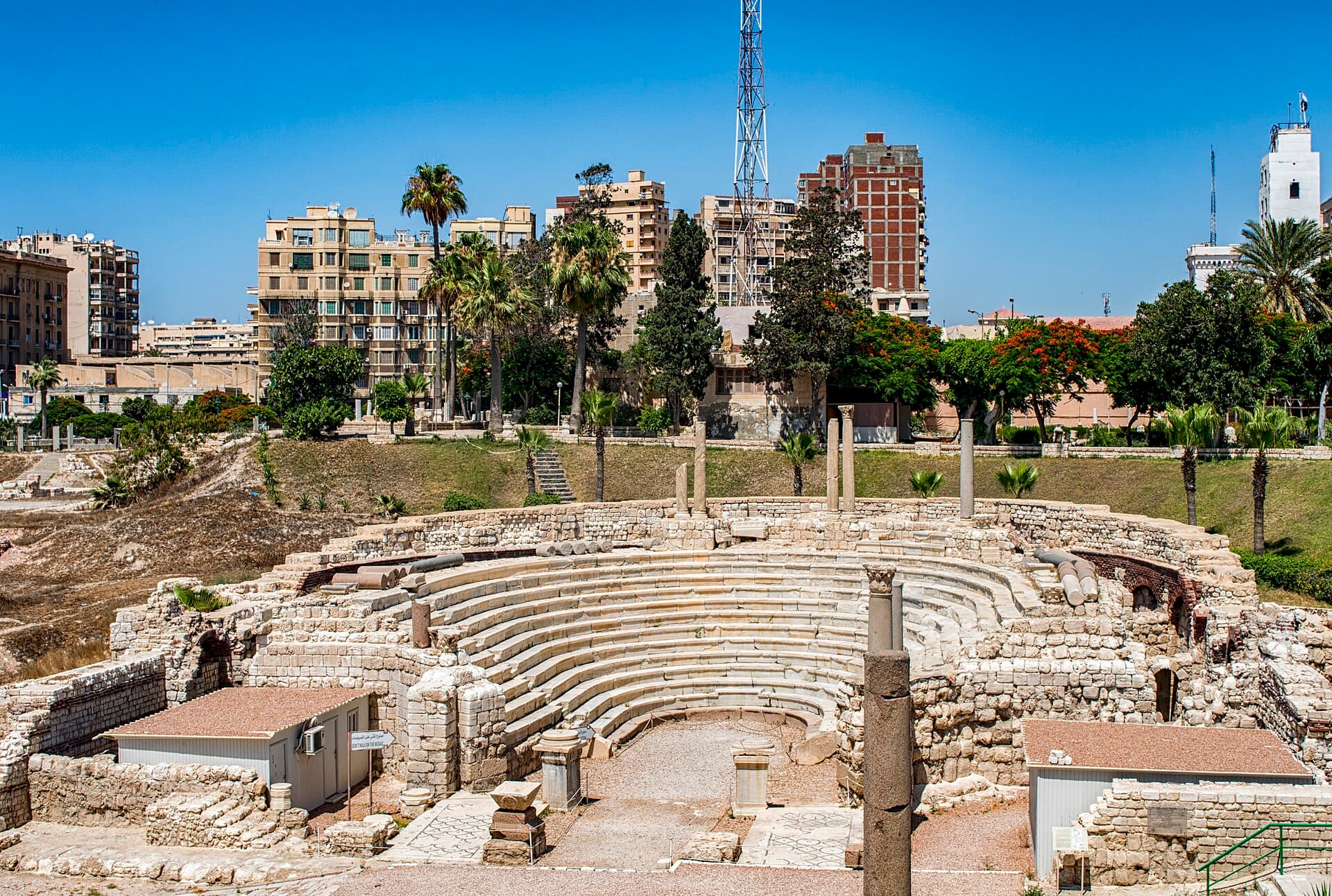
The city of Alexander, the Ptolemies and then Rome: its streets laid on a grid crossed by the Canopic Way, and at Kom El Dikka Rome left the only Roman theatre (odeon) uncovered in Egypt.

Highlights

  • 1The original Canopic Way alignment
  • 2Italianate façades of the 1920s
  • 3The Sayed Darwish Theatre and the National Museum

The story

  1. The Canopic Way ran east–west through the grid of Ptolemaic Alexandria as the old city’s principal artery. Fouad Street follows its line for much of its length; in 1922 E. M. Forster called it, despite its modern appearance, the most ancient street in the city.

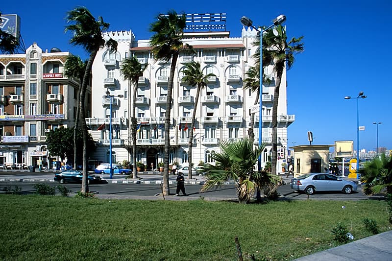
  2. Along it stand façades that a 2026 architecture feature describes as mainly Italianate and of the 1920s, alongside the Sayed Darwish Theatre, the Alexandria National Museum, historic shrines, and the Royal cinema on a passage just off the street.

  3. A walk along the street brings its façades and cultural landmarks into view. It runs east from Sherif Pasha Street to Shallalat Gardens, at the site of the old Rosetta Gate; Mahatet El Raml lies to its north and Kom El Dikka just to its south.

Memories of the place

Every memory is taken from a published, documented source.

  1. 331 BC

    Alexander the Great founded the city and ordered his architect Dinocrates to build it.

  2. Ptolemaic–Roman period

    The Canopic street was one of two very broad main streets crossing at right angles. According to tradition, the Soma, Alexander’s burial place, stood where it crossed the street that today’s Nabi Daniel Street follows, close to the mosque.

  3. Roman period

    The main axis ran some five kilometres from the Sun Gate in the east to the Moon Gate in the west, lined with porticoes.

  4. Late 19th century

    The street was commonly called Rue de la Porte de Rosette (sometimes Bab Sharqi street), after the eastern gate and the link with Rosetta; the gate led to the Nile valley, the capital and the pilgrimage road.

  5. c. 1920

    The street was named after Fouad I, who ruled Egypt as sultan from 1917 and as king from 1922; people still call it Fouad Street.

  6. After 1952

    At a date that is hard to fix, probably after the 1952 revolution, the street was renamed El-Horreya (“Freedom”); in 1970 it was renamed after Gamal Abdel Nasser at his death.

Around it

© OpenStreetMap

Nearby landmarks

Distances are as the crow flies. Choose any pin to open that place.